It may be the image line… try putting the image path in quotes, or switching to a wikilink.
I will check on my computer later but I don’t see anything immediately that stands out as incorrect, and it works on my phone.
It may be the image line… try putting the image path in quotes, or switching to a wikilink.
I will check on my computer later but I don’t see anything immediately that stands out as incorrect, and it works on my phone.
I put it in quotes, wikilink, and an imgur link, and every one fed back the same error code about lacking an ID. I’m not entirely sure what’s up with that at all. I’m assuming it’s not because it’s a .png rather than a .jpg?
Okay. I’ll have to take a look on my computer later. It should only give this error if there is no id present at all, so not sure what exactly is happening here.
Does a map with just an id work? If so, maybe try adding the other parameters in 1 by 1.
Also, please let me know your obsidian version, obsidian installer version and the plugin version.
A map with just an ID does not work, unfortunately.
Obsidian version: 0.13.19
Installer version: 0.13.14
Plugin version: 4.9.0
I am still having this issue even after the latest update and with just the ID still.
Can you test it in the help vault? Can you also check the developers console for errors? Ctrl/shift/i on windows, cmd/option/i on mac
I don’t understand how I am supposed to initiate a map in a line of code.
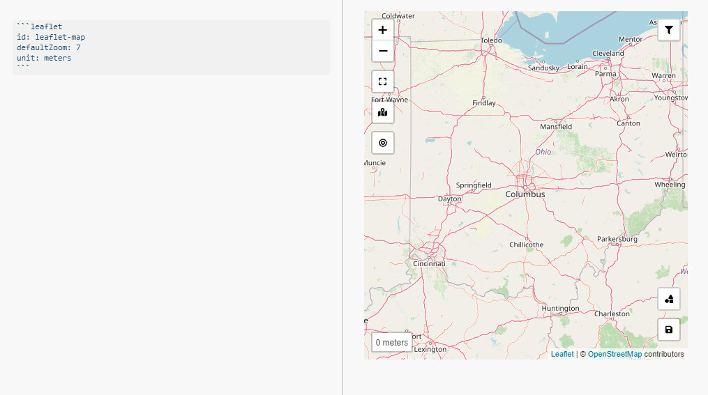
I know with leaflet it goes like this
id: leaflet-map
defaultZoom: 7
unit: meters
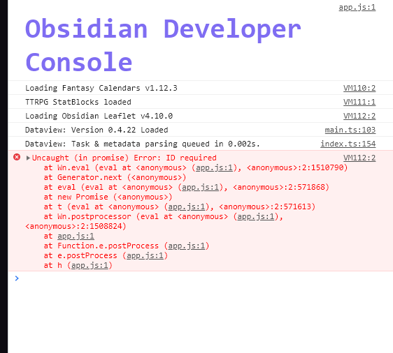
This is what I get in the dev console. I’m not quite sure if the help vault is doing anything as it doesn’t seem to prompt anything at all.
Pretty much immediately after sending that image I did manage to get that error code to go away, likely was having it due to my own stupidy. That being said I am now having issues with it saying there is an issue getting the image dimensions and I’m not exactly sure why as I have given it the bounds of the image and attempted multiple images as well.
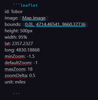
My code block
The dev console error list
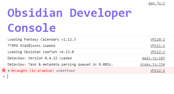
Maybe try with just the id and image parameters… but I don’t see anything wrong with the code block. How large is your image? Does any image work?
Also, can you try making sure you have no indentation? That may be the problem.
I’ve got no idea what happened. I tried it again just now and used the same image and it just works now.
I yesterday tried using this plugin for marking some places in a city. Have I misunderstood something, or is it not possible to zoom in past level 10? At zoom level 10 the street map is still not close enough to be able to find things well in a city (I would guess that one would need somehwere around 12-14 before that was possible).
Is there maybe some configuration parameter I’ve missed?
You can control this with the maxZoom parameter.
I’m trying to use ArcGIS Tiles as tileServer with no luck at all. Do you have any ideas, how to use ArcGIS tile service as a basemap in the plugin?
I’ve tried different variants of URL address, non of them worked though.
is max zoom for this plugin is 18? i have set it way beyond 18 (150) and still doesn’t show anything beyond 18 no matter how long i wait
Is this for an image map? You have to set the bounds parameter for zooms beyond 18 to work.
no it is for default map, it had issue with image map before too, changing the max zoom to 150 before i think was for this purpose. maybe i should change tile sever, i am not sure what is wrong here
This seems like a great plugin, but the documentation is a bit involved, and I can’t quite figure out how to do what I want.
What I’m looking for is a way to replicate Evernote’s old Atlas function, where I can see the location of every note I’ve taken on a map (and also see maps for individual notes). How would I accomplish this?